Warmer, warmer, colder… GPS training for habitat condition monitoring
,
On a soggy and breezy Thursday and Friday in December we ran GPS training workshops for people involved with deer management who need to undertake habitat condition monitoring as part of the area’s deer management plans. Data will be gathered over a number of years, on two habitat types: blanket bog and dwarf shrub heath, to assess the impact deer browsing is having. This data can then be used in conjunction with count data and other factors to help set population targets for the areas. All this has the ultimate aim of creating a healthy habitat that supports all species living within it.
GPS trackers are used for setting up the monitoring plots and to find the same plot in following years to measure the change in condition. GPS is used to give a grid reference for mapping where the monitor plots are and this grid reference is what guides the person doing the monitoring back to the same spot. A marker stake is left in the ground at the site of the monitor plot but as the stake shouldn’t be visible above the vegetation or could have been accidently pulled out it can be difficult to find the exact same spot by eye alone. Using a GPS tracker helps to narrow the search a bit like a game of hotter and colder.
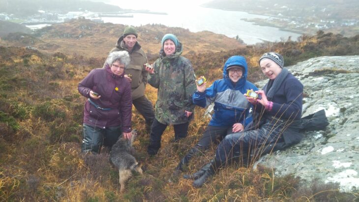
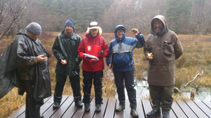
We started the training by going over the basics of map reading and how grid references work. We then put pre-chosen grid references into the GPS tracker and then went off into the hill on day 1 and Culag woods on day 2 to try to find the exact same spot.

The GPS trackers had a 3m margin of error on the day which meant although our GPS trackers were all showing the same grid reference we were all standing in slightly different places. It showed that people doing the habitat assessment would then need to search for the stake marking where the plot should go once they had got near enough. One tip to help themselves when trying to find the same spot the following year was to take photos in a north, east, south and west direction to refer to when they return.
We concluded the easiest way to find the points was to mark them on a map and follow the map to roughly the right area, then use the GPS tracker to narrow it down and get close to the right spot. We also learnt how fiddly it is to use the GPS trackers in the pouring rain! Hopefully there will be better weather when it’s time to mark out the plots and do the habitat condition assessments.

Thanks to everyone who came along and to our trainer Dr Cathy Mayne who will be back in the new year to do further training workshops.
