Creating a Sense of Place
Image: Vickii Campen/Scottish Wildlife Trust Whether you’re a tourist or a local, it will soon be easier to discover and share what makes this part of…
Explore The Local Guide to Coigach and Assynt App
Coigach and Assynt’s Local Guide uses your phone’s GPS to automatically trigger rich audio content and deliver turn -by-turn audio content and interesting information relative to your surroundings and upcoming destinations.
![]() The Local Guide is available to download for free on Apple and Android devices from App Store or here.
The Local Guide is available to download for free on Apple and Android devices from App Store or here.
“Sense of Place is a phrase used to define how a place makes us feel: what it is about a place that makes it special and different to anywhere else.”
A Sense of Place Toolkit is available, for use by local businesses and organisations to capture and communicate what makes the Coigach and Assynt Living Landscape area so special. The toolkit, including freely available images and videos, explores the following themes:
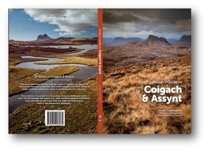
A guidebook of walks in Coigach & Assynt has also been published, highlighting the areas rich natural and cultural heritage. The beautifully illustrated book, Walker’s Guide to Coigach & Assynt, by Dougie Cunningham, is available in local bookshops and by mail order.
Through the development of a North West Highlands Geopark business plan, community consultation, and workshop focused on developing an interpretation strategy for Coigach and Assynt, it was found that interpretation and information on walking routes and landscape is a key part of the visitor experience – and that digitisation into an app would create a central hub and improve access to this data.
The aims of the project were to:
Image: Vickii Campen/Scottish Wildlife Trust Whether you’re a tourist or a local, it will soon be easier to discover and share what makes this part of…
Our Landscape Routes project aim is to produce a toolkit to celebrate and promote our landscape within Coigach and Assynt. This can be nature, built or Cultural heritage or landscape…
Last year CALL commissioned Market Sphere to conduct a Marketing Research Report on Visitor Information for Coigach & Assynt Living Landscape Partnership (CALLP) Scheme. The survey was both online and…